This semester I’m taking a GIS database course and I’m understanding the steps pretty well. I did an intership with Nashville’s Metro Water Services in my undergrad and I’m interested in environmental compliance as a career path. While there I shadowed department mangers that used GIS to monitor the different type pipe systems through out the city. That experience gave me a real word application on how to GIS can be used in my field of interest.
Do you think GIS can be used in any field or do you think GIS can only be applied in certain fields?
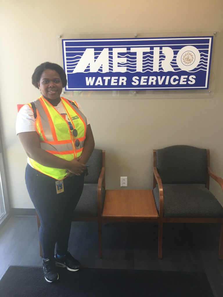
Me when I was interning with metro water

That internship sounds cool. Glad to hear you want to get into environmental compliance, very important!
LikeLike